
")
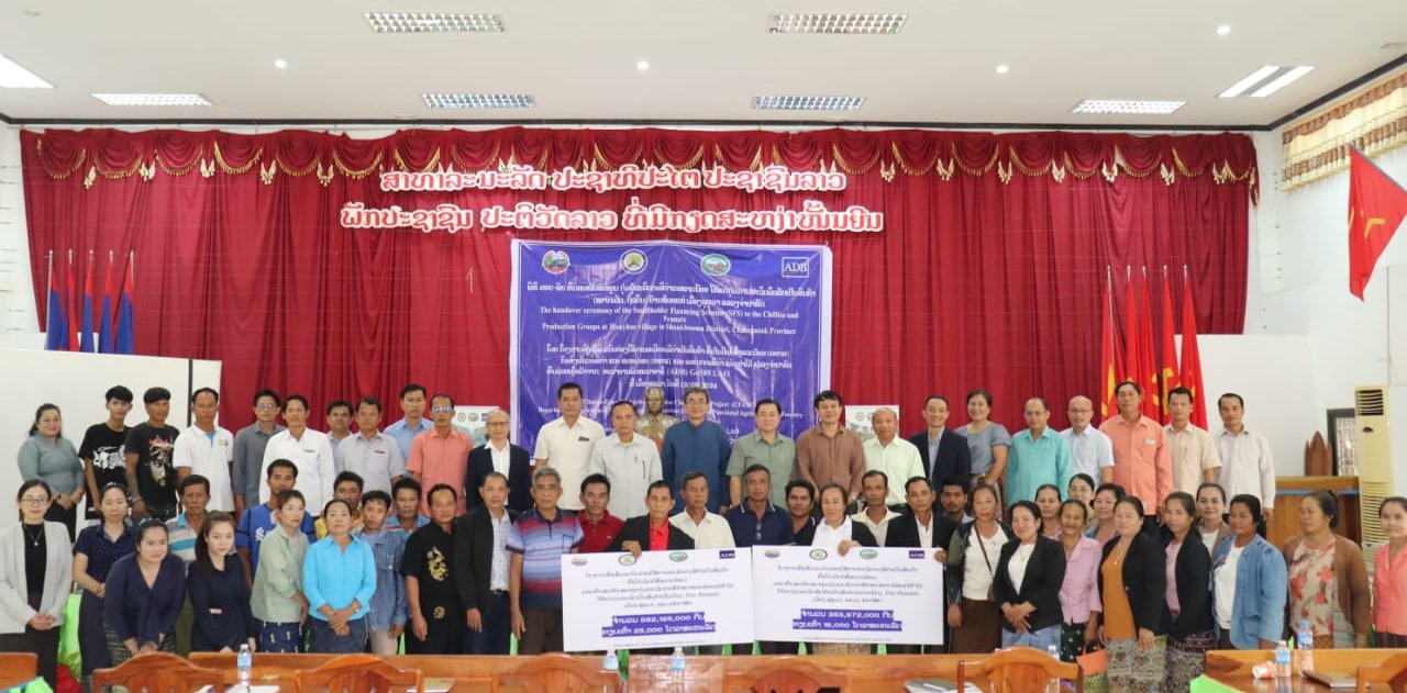
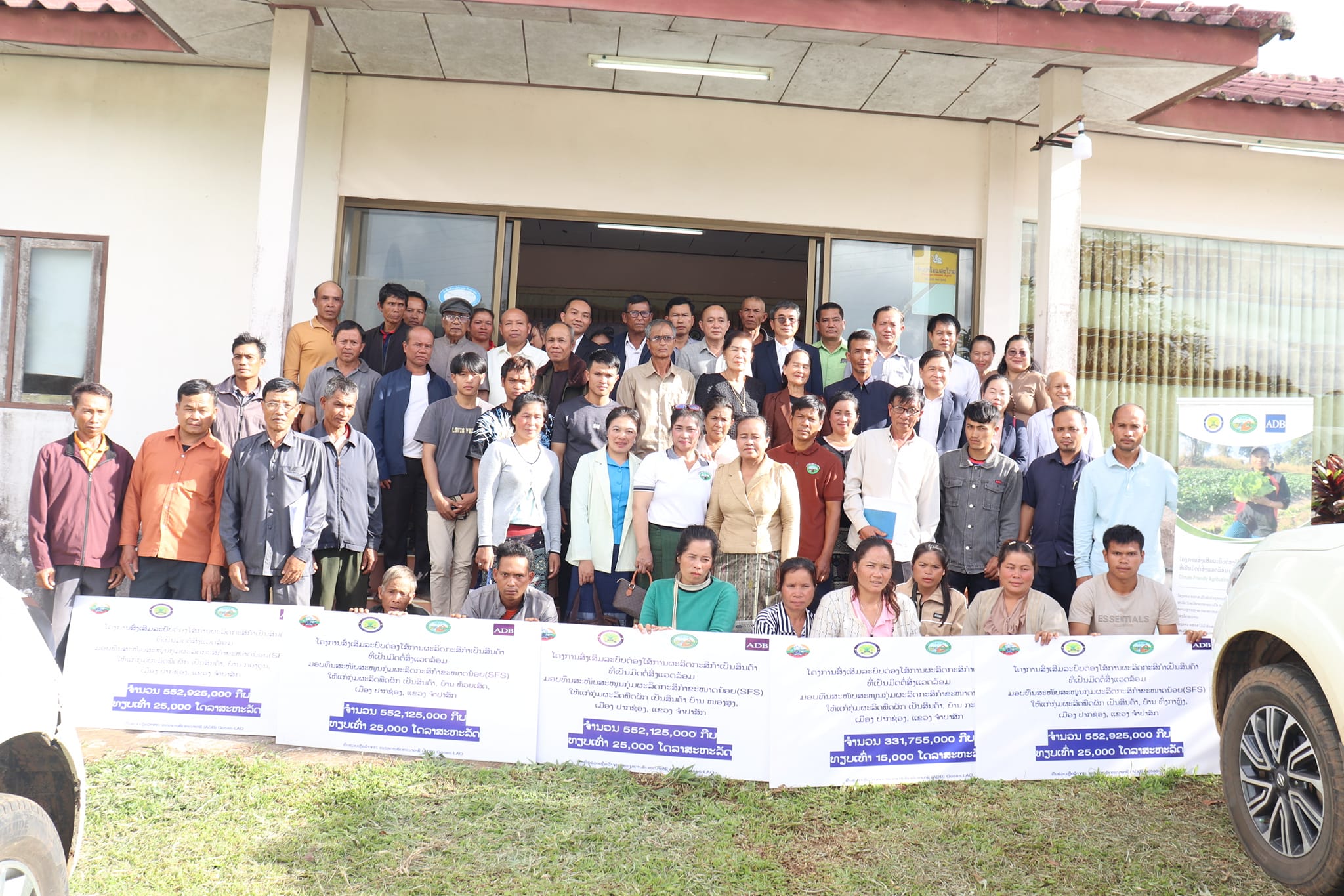
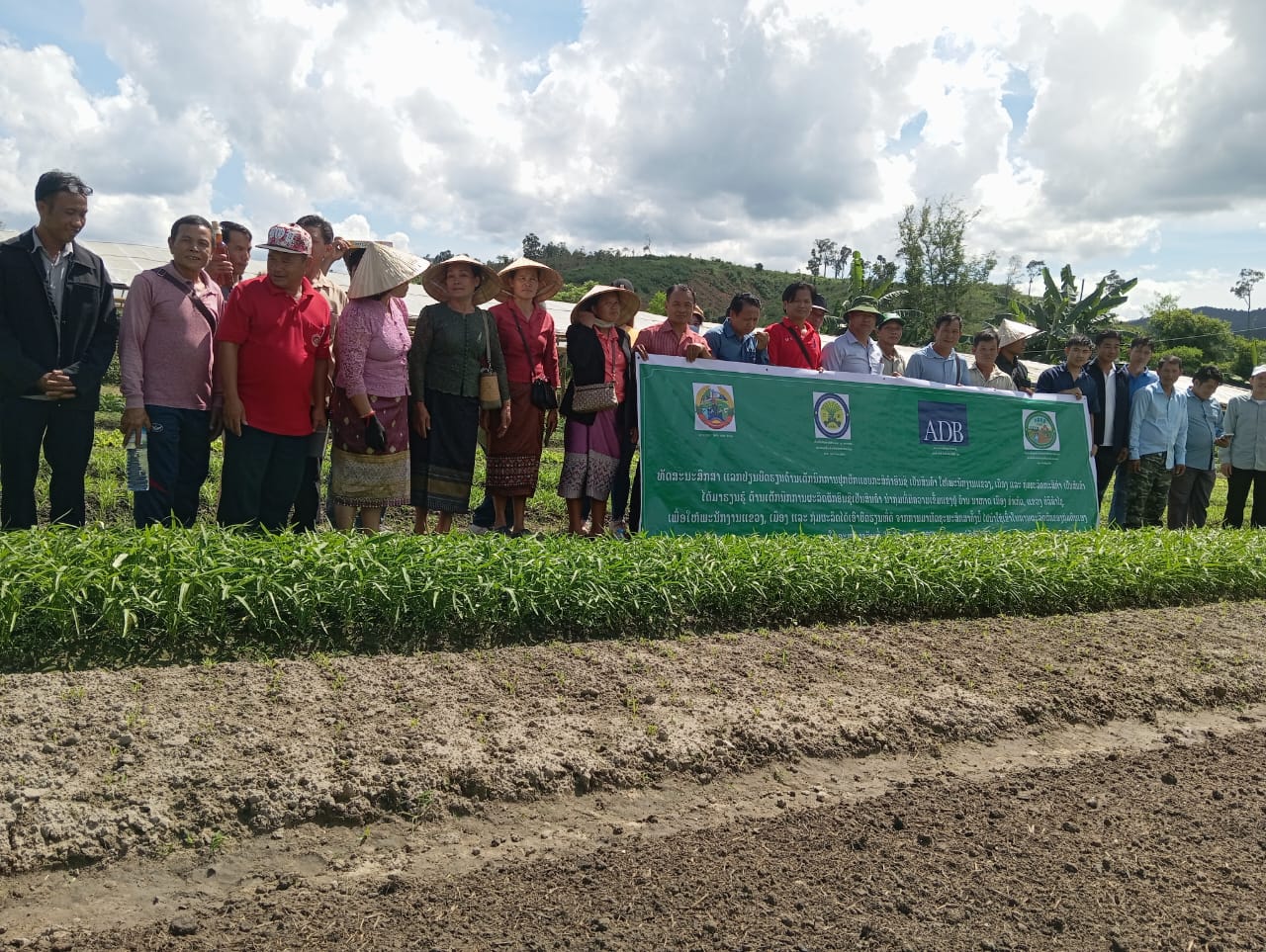
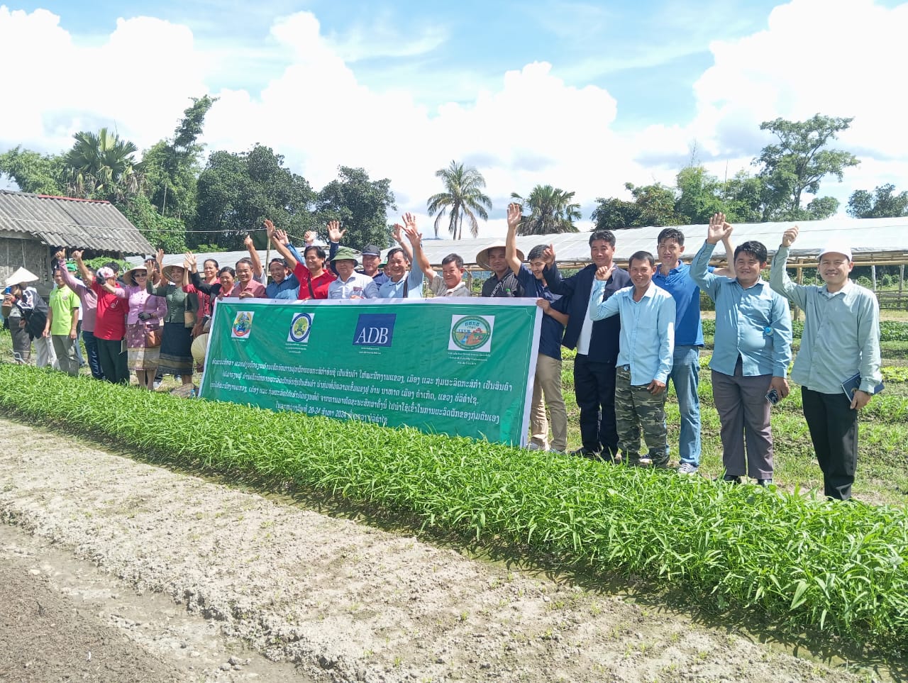
Handover Ceremony of Smallholder Financing Scheme (SFS) under Climate-Friendly Agribusiness Value Chains Sector Project (CFAVC) to 11 Agriculture Production Groups in 6 Districts of Savannakhet, total amount of LAK5,708,118,000 (USD259,000)
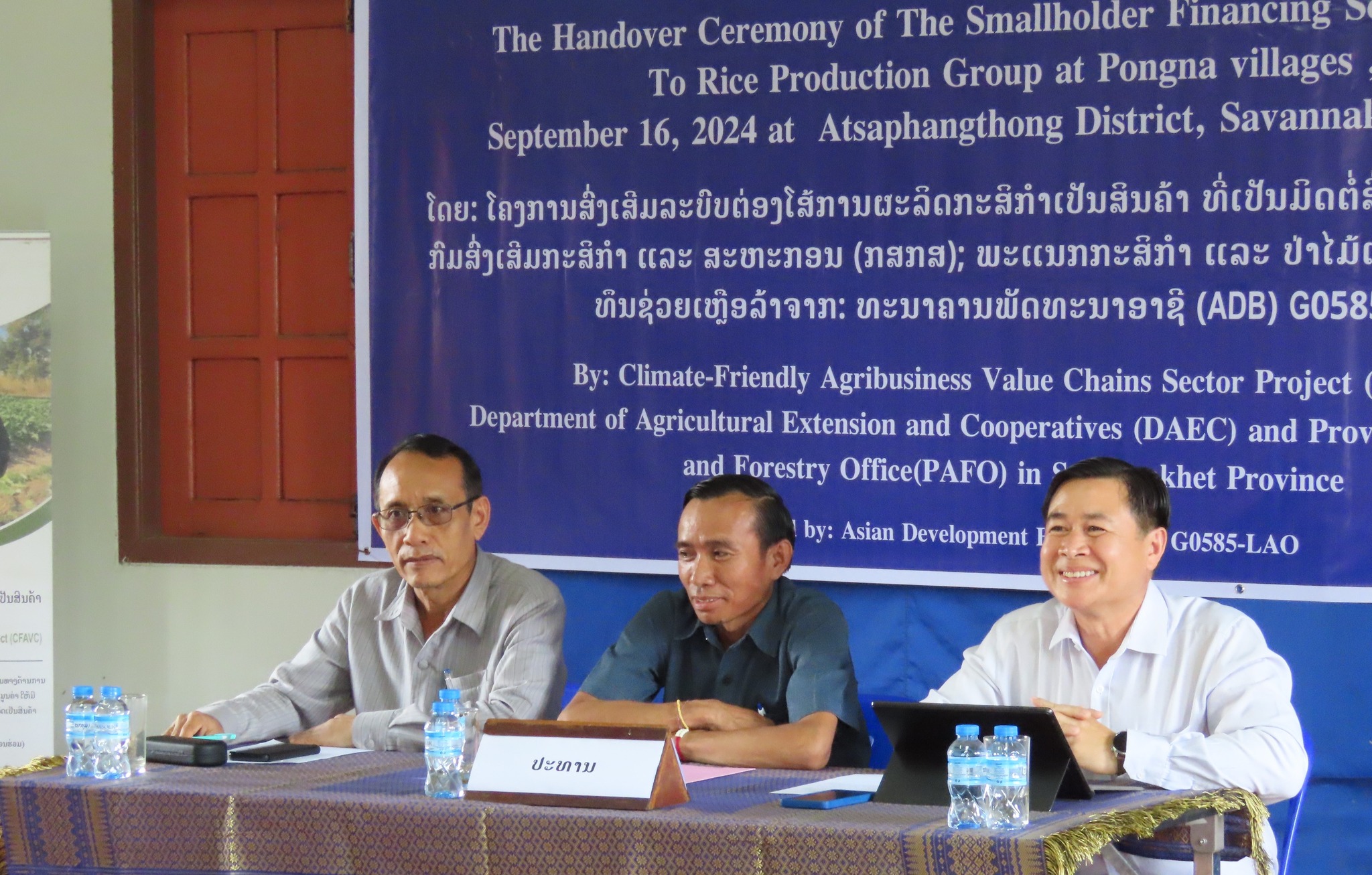
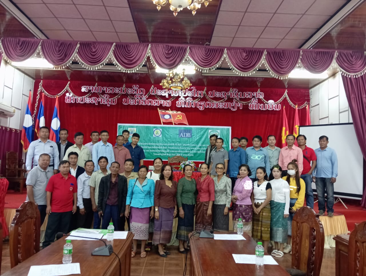
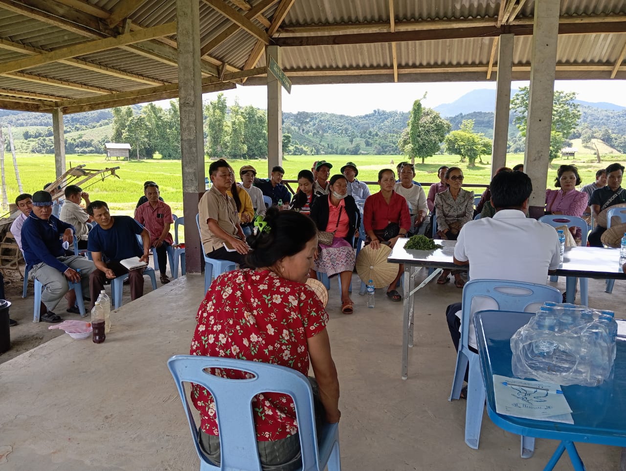
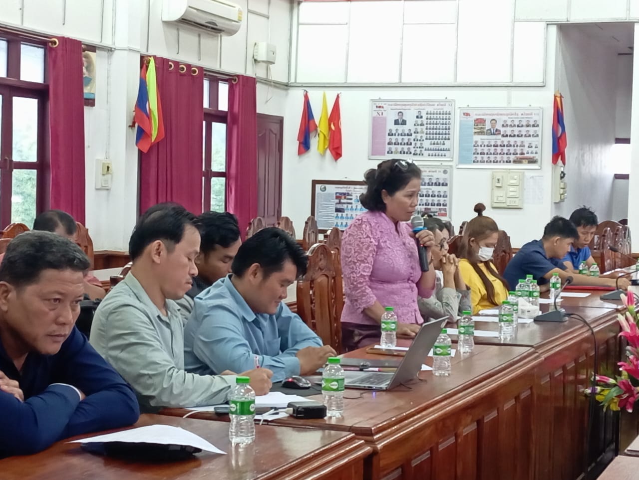
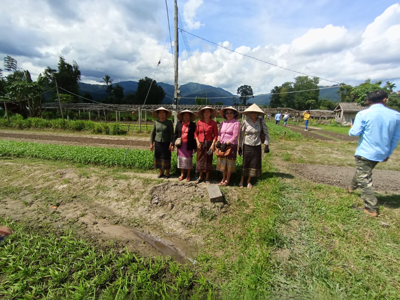
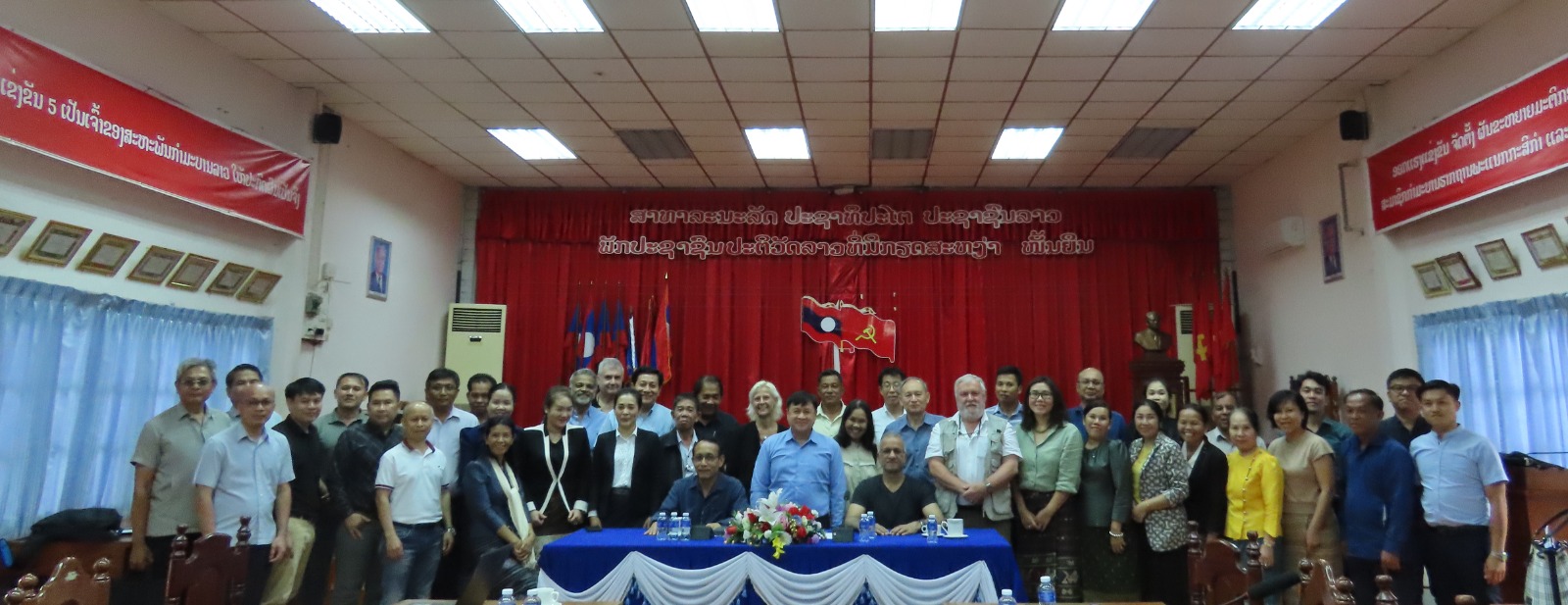
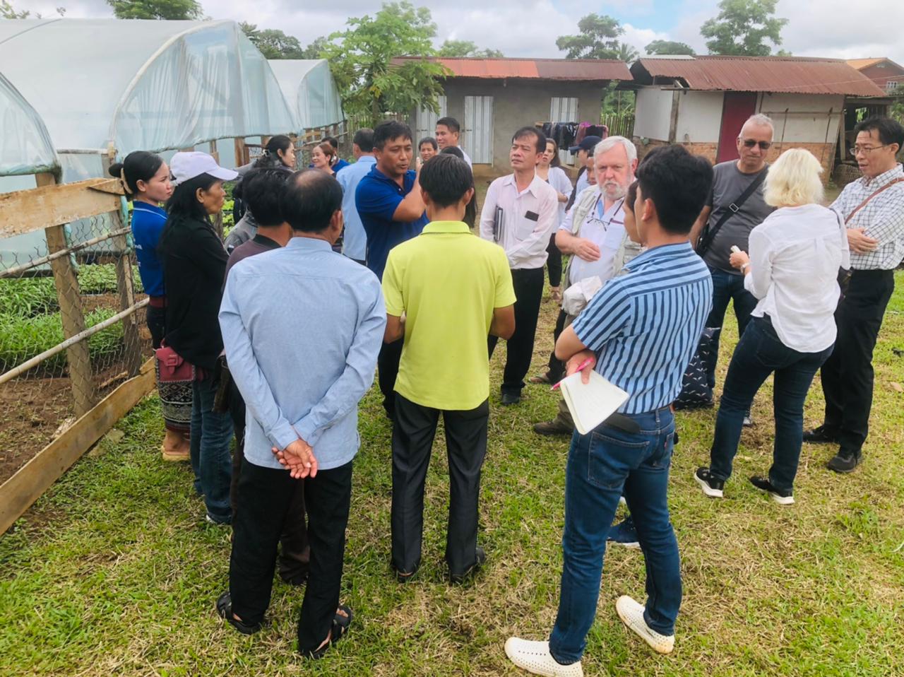
On September 16-19, 2024, Climate-Friendly Agribusiness Value Chains Sector Project (CFAVC) of the Department of Agricultural Extension and Cooperatives, Ministry of Agriculture and Forestry organized the SFS Grant handover ceremonies to 11 Agriculture Production Groups in Atsaphangthong District, Champhone District, Sonnabouly District, Xayphouthong District, Songkhone District, and Xaybouly District in Savannakhet Province.
The ceremony was chaired by
Mr. Ounla Phouvongnintha, Deputy Governor of Atsaphangthong District
Mr. Khamta Sinthasone, Deputy Governor of Champhone District
Mr. Khamsay Boubphaphanh, Deputy Governor of Sonnabouly District
Mr. Phern Thamonety, Deputy Governor of Xayphouthong District
Mr. Linthong Bounthamaly, Deputy Governor of Songkhone District
Mr. Phoungern Chanthasone, Deputy Governor of Xaybouly District
Mr. Khammone Thiravong, Deputy Director of PAFO, Department of Agriculture and Forestry, Savannakhet Province
Mr. Khampong Vongphachan, CFAVC National Project Director
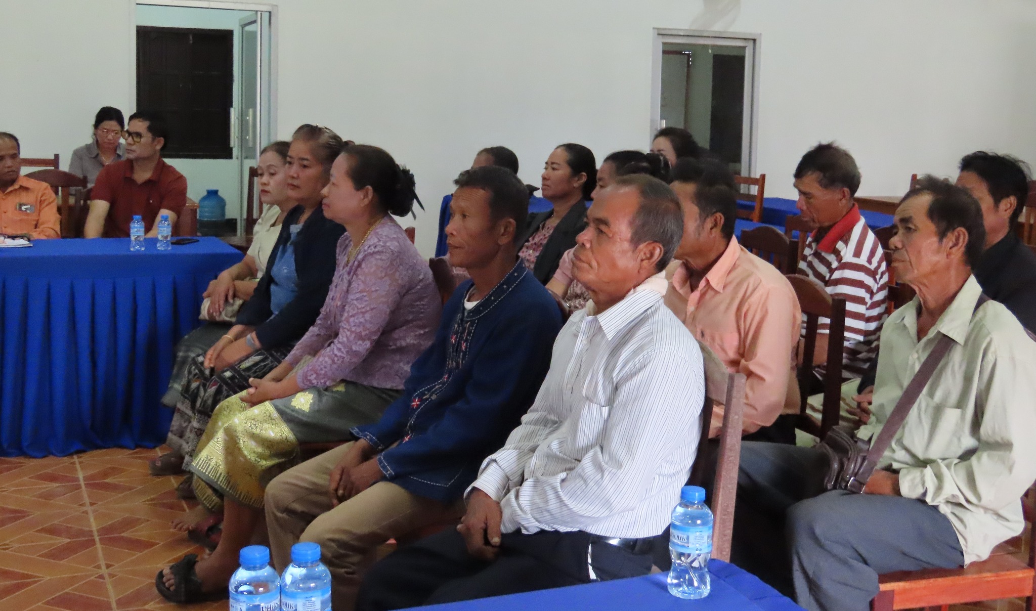
SFS is a grant from the Asian Development Bank (ADB) to the Agriculture Production Groups of Pongna Village, Phalang Village, Thuad Village, Kongpathoumvanh Village, Thakhamleuam Village, Khanthajan Village, Nongdernthong Village, Dongsavang Village, Beungxe Village, Hadxaysoung Village and Kangpa-Phonthan Village, which has a total of 261 families.
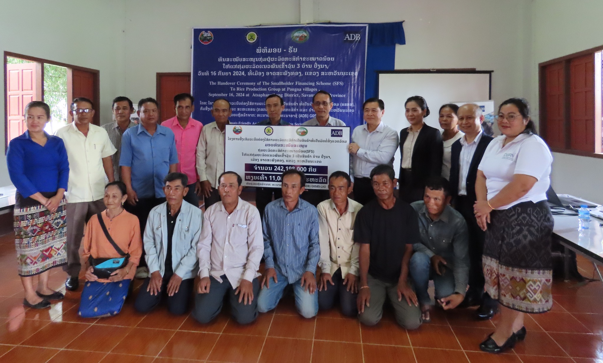
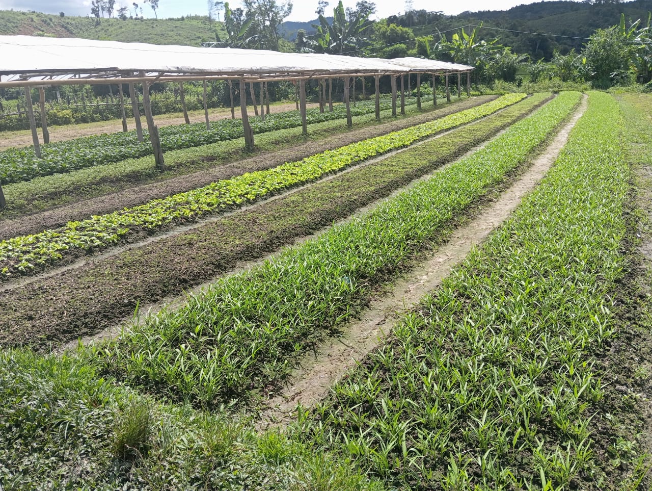
The purpose of the fund to use for: (1) be a working capital for the purchase of rice production factors and rice seed production for members within the group, (2) to purchase the vehicle such as a tractor as a joint asset within the group to serve members within the group or outside the group in preparing the rice fields.